GEOID MODELS: WHAT ARE THEY? WHAT IS THEIR PURPOSE IN CIVIL ENGINEERING?
Geodesy and CIM (Civil Information Modeling)
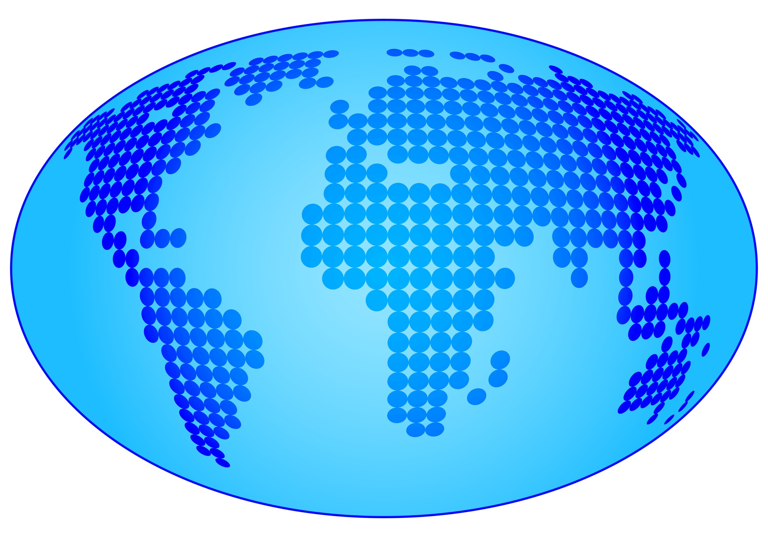
In our industry, precision is one of the most fundamental factors to successful project execution. Precise measurements lead to precise calculations, precise calculations lead to precise specifications, and ultimately that all leads to better project outcomes. Being able to calculate accurate local elevation for job sites is essential. However, our planet is not the perfectly round, smooth shape that some think it is. Earth is very bumpy and irregular. This irregular shape is called the geoid. A geoid is a model of global mean sea level used to measure precise surface elevations. Having a deeper understanding of the Earth's shape and topography is essential in civil engineering.
The Geoid
There are geoids, and there are ellipsoids, and those two are different, but together they make up Earth. Again, Earth is not smooth. The imaginary sea level surface that rises and falls over all of the Earth is known as the geoid. It extends through landmasses as well as oceanic areas. The geoid is the shape that the ocean surface would take under the influence of gravity, including both the Earth's rotation and gravitational attraction if winds and tides were non-existent. The undulation of this geoid surface is due to gravity not being completely uniform throughout the Earth due to the density of the Earth varying from location to location. The geoid model variation from a perfect ellipsoidal shape (the ellipsoid model) is relatively little, with a maximum of +275' in Iceland and a minimum of -350' in India. The geoid is the true zero surface for measuring elevations. Heights above or below the geoid surface can't be directly measured and therefore are inferred by making gravity measurements and modeling the Earth's surface through mathematical calculations. Its relevance in our industry is that it serves as the height datum system for taking vertical measurements (such as stockpiles and cut/fill). Using high-quality local elevation data will get a more exact calculation, which results in more cost-effective project management.
The Ellipsoid
We mentioned that geoids and ellipsoids make up Earth. So, what is an ellipsoid? Ellipsoids are round and smooth like a sphere, but they are not symmetrical when divided in all directions. Earth is not a perfect sphere because the circumference of the Earth's equator is longer than its meridians. There have been numerous ellipsoidal models developed over the years. Perhaps the most well-known one is the WGS84. The WGS84 is an Earth-centered, Earth-fixed terrestrial reference system and geodetic datum. Datums are used in geodesy (the Earth science of accurately measuring and understanding Earth's geometric shape, orientation in space, and gravitational field). Geodesists use space-based tools like the Global Positioning System (GPS) to measure points on the Earth's surface. We all know the significant role GPS plays in our daily lives, whether on or off the job site.
The Math
Now for some math. For your GPS to repeatably give you accurate elevation information, it has to use a mathematical calculation to convert the ellipsoidal elevation that the satellite provides to the Orthometric height used in coordinate systems. Believe it or not, the equation is quite simple, orthometric height= ellipsoidal height – geoid height. This equation, along with the rest of the site localization process, creates the high levels of accuracy we have come to expect from our GPS equipment.
Snay, Richard. (2012). Evolution of NAD 83 in the United States: Journey from 2D toward 4D. Journal of Surveying Engineering. 138. 161 - 171. 10.1061/(ASCE)SU.1943-
How Earth's Models factor into Civil Engineering
There are many different geoid models and ellipsoid models. These are vertical datums that serve as essential reference points from which elevation can be determined. For surveyors, these vertical datums are necessary to their work. There are different models because there are slight differences in the GPS Benchmark data used for each model. Specifically, these differences exist in southern tier states along the Gulf Coast and Puerto Rico. The National Geodetic Survey will release a new gravimetric geoid-based vertical datum next year.
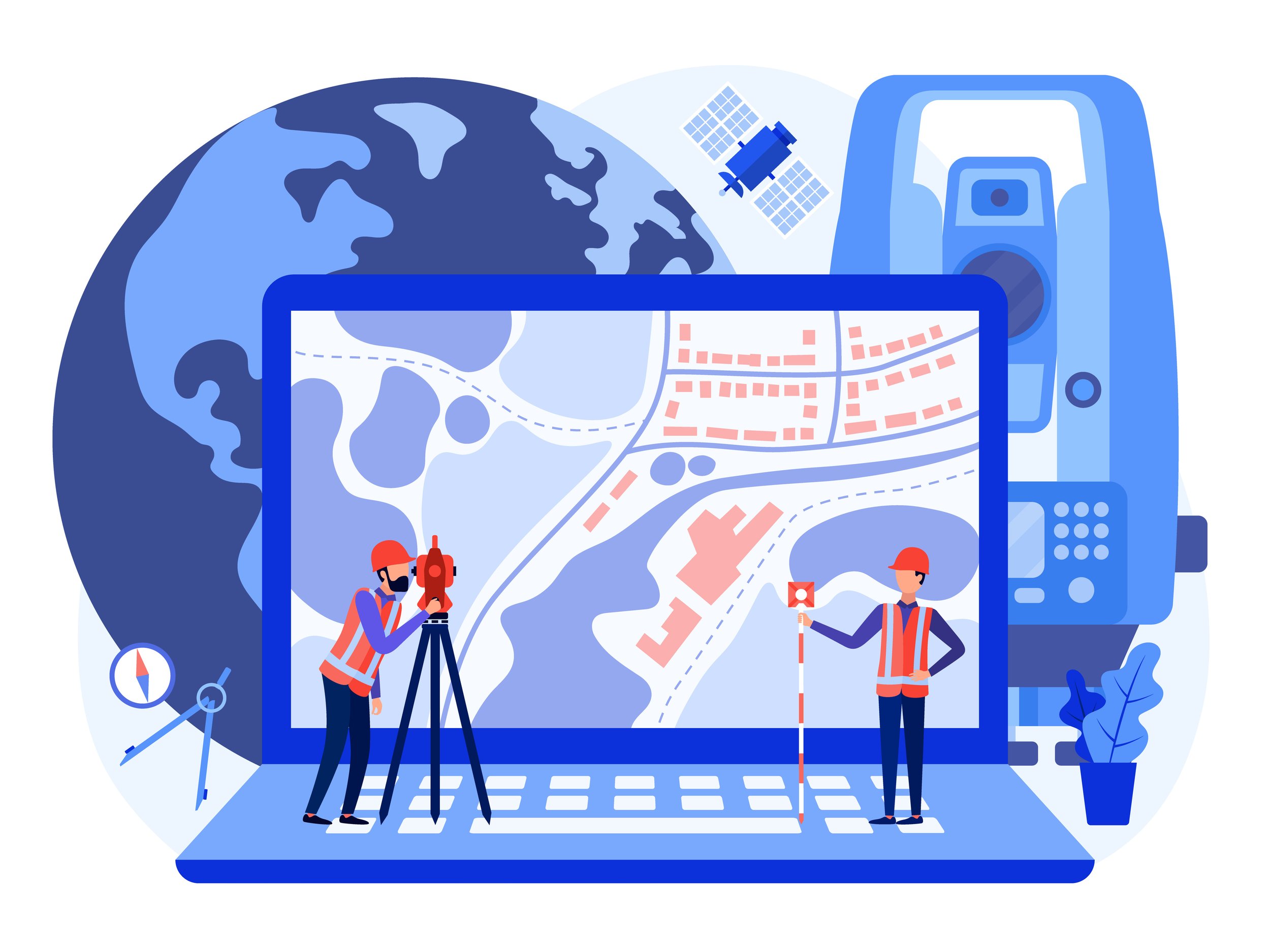
We are not geodesists, nor do we need to be however, it is beneficial to apply this knowledge when working with the surveyor's data to create 3D models of the site's topography. Depending on where your job site is located, you might find that a different geoid model is better than another. Highly accurate vertical measurements are a key component of our work, so the more we know about the science of geodesy, the better results we will all have. ECI Technologies is all about providing the most accurate data to our clients so that their earth moving projects can run as smoothly and efficiently as possible.


